Geography is not one of my strong suits. Some time ago, I stumbled across this database of maps of Connecticut on Ancestry.com It was one of those days where I was rushed for time. Today, in my tree at Ancestry.com, I remembered that I needed to explore this resource.
Ancestry.com.
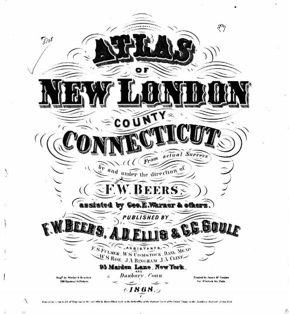
U.S., Indexed County Land Ownership Maps, 1860-1918 [database on-line]. Provo, UT, USA: Ancestry.com Operations, Inc., 2010.
Original data: Various publishers of County Land Ownership Atlases. Microfilmed by the Library of Congress, Washington, D.C.
 |
| Collection Number: G&M_6; Roll Number: 6. |
On this map is the section of North Stonington that contains the area near the Stewart Hill Cemetery that I have been researching. It shows the home of Denison Noyes Stewart whose gravestone and life I will be working with this week. It is marked with a year of 1868 and by examining it at very close magnification, I see many names of Stewart ancestors that were alive around that time. I can see that this will help me quite a lot. (Do you see it right above the words Stewart Hill?)
The killer fact? Denison Noyes Stewart died in 1867, so this was published after his death. I almost dismissed this because of that FACT until I rethought the publication date.


1 comment:
Thanks for posting this. Sometimes I forget that they have this collection :)
Post a Comment